


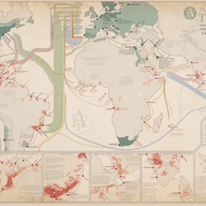
Description
A comprehensive map showing the Eurasian arctic at the end of the 19th century, when the arctic ice started to become less of an obstacle and trade and exploration could start to take root. Included in the map is information of various expeditions to the North Pole, the first North-East Passage, the Pomor trade and Yup’ik Bering trade, and much more.
Read more about Arctic Exploration and Trade.
MAKING THE MAP
The map is compiled primarily from modern research.
The map is fully original and hand-made by myself.
THE PRINT
Width: 304 mm (11,97″)
Height: 690 mm (27,7″)
Suitable for gluing onto a foam board.
The map is printed on high quality thick paper from a local printer in Leuven, Belgium.
SOURCES
Arctic Exploration and Development 500 bc.-1915 ad. (1994) C. Holland
A History of the People of Siberia (2006) J. Forsyth
Pomor: Nord-Norge og Nord-Russland gjennom tusen år (1992) E. Niemi
From Northeast Passage to Northern Sea Route (2022) J. Nielsen & E. Okhuizen
Arctic Whalers (1987) B. Lubbock


Reviews
There are no reviews yet.