


Description
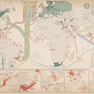
The Hajj to Mecca has long been one of the many great pilgrimages of our world. The map depicts the Hajj around the year of 1859. We often picture a long caravan making its way to Mecca, but from at least the 1800’s, reaching Mecca was often done by boat. It always carried with it risks to perform the Hajj. Everything from disease, thieves or risking ones life at the hand of a strangers sword.
See the full map resolution here.
MAKING THE MAP
The map is compiled from old travel accounts, contemporary official reports and modern research.
The map is fully original and hand-made by myself.
THE PRINT
Width: 204 mm (8,0″)
Height: 352 mm (13,9″)
Suitable for gluing onto a foam board.
The map is printed on high quality thick paper from a local printer in Leuven, Belgium.
SOURCES
The Nautical Magazine (1860)
R. F. Burton (1853)
J. L. Burckhardt (1815)
B. Taylor (1881)Travels in Arabia
R. Kranz (1991)Across Africa and Arabia
H. Dixon (1940)




Reviews
There are no reviews yet.